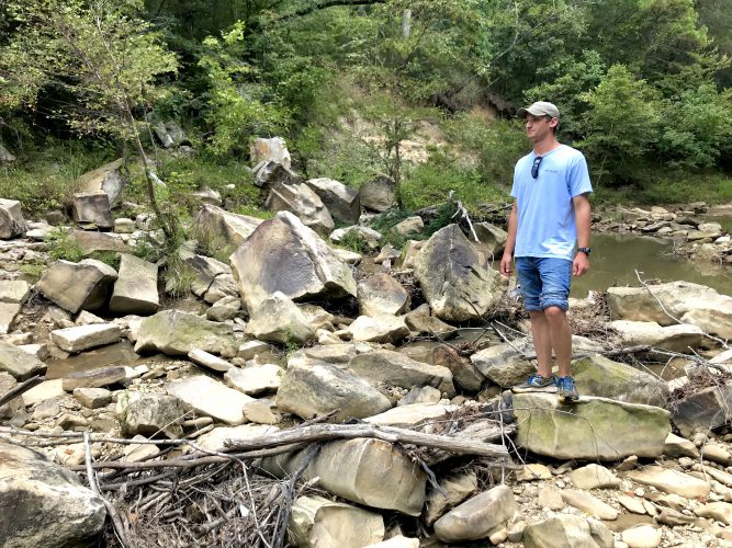
Surface Geology
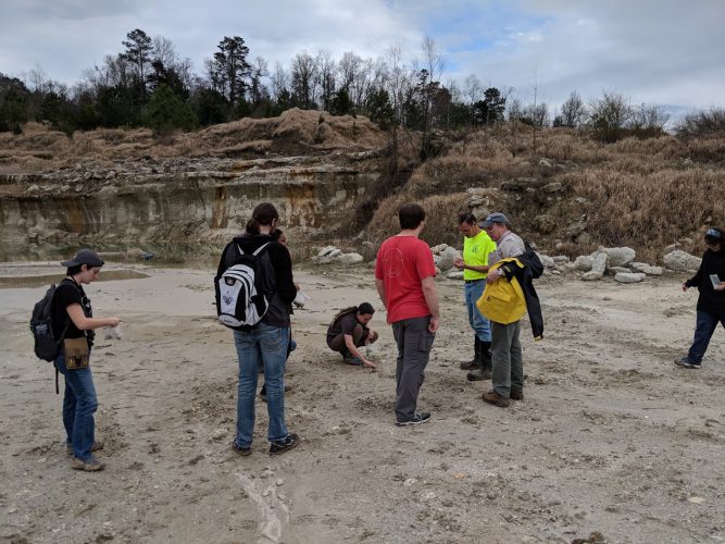
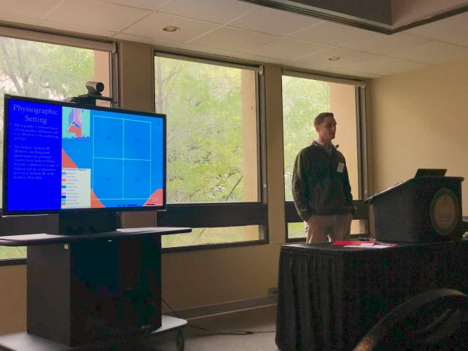
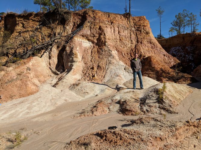
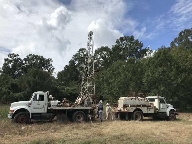
The Surface Geology Division conducts the traditional work of the Mississippi Geological Survey: surface geologic mapping and research into the geology, paleontology, and mineral resources of the state. To learn about the history of the Mississippi Geological Survey click here.
Activities
The major work effort is in the preparation of surface geologic information such as maps, bulletins, and circulars. These publications provide the basic information needed for assessment of the distribution and availability of energy and mineral resources, location of geologic hazards, occurrence and availability of water resources, and the suitability of land for various uses.
Geologic publications are used in such diverse activities as:
- site characterization for suitability for waste disposal facilities
- foundation studies at construction sites
- location of minable gravel deposits, and
- identification of aquifer recharge areas.
The maps prepared by the staff are used by environmental consultants, academic researchers, government regulatory agencies, the construction industry, and the mining industry. In addition to mapping Mississippi, the staff of the Surface Geology Division is available to answer questions and requests for information about:
- Surface geologic features and processes
- Geology of Mississippi
- Economic mineral resources
- Paleontology
- Collecting and identifying rocks, minerals, and fossils
Quick Reference Downloadable Publications:
Contact Information
Click here for the Surface Geology Division staff directory
Office of Geology
P. O. Box 2279
Jackson, MS 39225

